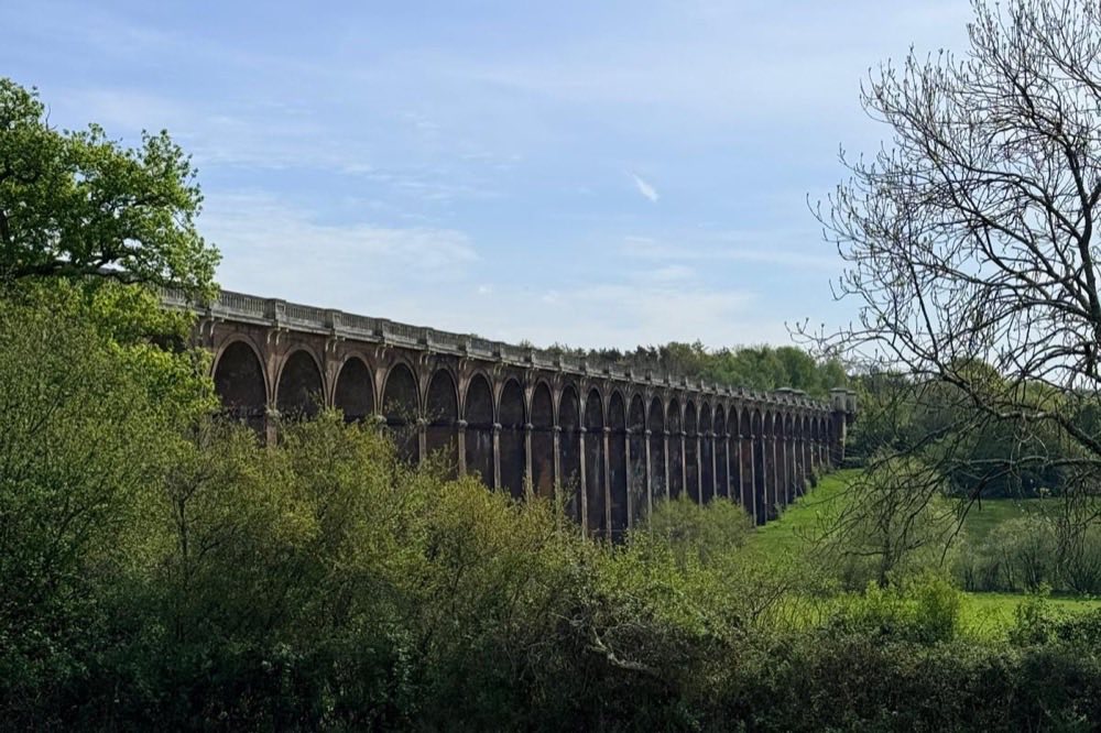

Balcombe & Ouse Valley Viaduct
A varied route linking the iconic viaduct’s arches with a peaceful reservoir walk.
- Distance13.2 km8.2 miles
- Time3 hoursApproximate
- DifficultyModerate
Using your GPX
- Download the file.
- Find it in your phone’s Downloads folder or Files app.
- Import it into a walking app that accepts GPX files.
- Check the route, and make any maps you need available offline before you set off.
Downloading doesn’t start navigation. Not every app accepts GPX files or offers free offline maps.
Download not working?
If the download doesn’t work inside Instagram, open this page in Safari or Chrome and try again.
- In Instagram’s browser, open its menu (often ⋯ or ⋮ in a corner) and look for an option to open the page in your browser.
- If there isn’t one, copy the page link and paste it into Safari or Chrome.
- Tap Download GPX again.
The Peak
Preview
- Balcombe Station
- The Half Moon Inn
Outline from the GPX file, not for navigation. Map data © OpenStreetMap contributors.
Directions to the startThe Pint
The Half Moon Inn, Balcombe
A cosy country pub with good food and a relaxed village atmosphere.
Spotted a problem with this route? Email us
Walk safely and drink responsibly. Never drink and drive, and soft drinks are just as welcome.